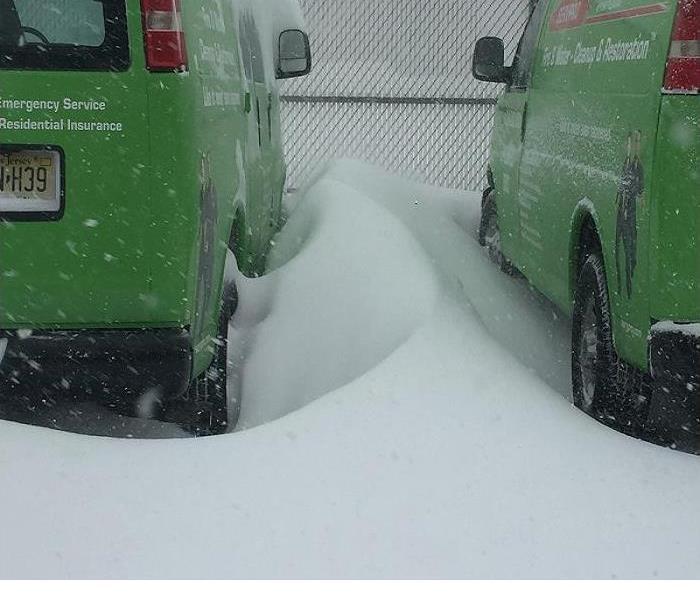
New Jersey's "Bomb Cyclone"
1/8/2018 (Permalink)
A winter hurricane called a “bomb cyclone” is about to cause problems for New Jersey and all along the East Coast. According to the Toms River Patch, a “bomb cyclone” is a meteorological term and described as such because its pressure is predicted to fall so fast, an indicator of explosive strengthening of the storm.
This “bomb cyclone” will be on the way here after forming off the coast of Florida on Wednesday, Jan 2, 2018. This winter storm is expected to hit New England with strong winds exceeding 45 miles per hour and blizzard conditions on Thursday. Luckily, the worst of the storm will hover 20 to 50 miles, or more, off the Jersey Shore. Worst case scenario is if the storm tracks closer to the coast, then some sections of New Jersey could get hit with as much as 8 to 12 inches of snow.
The temperatures will dip into the polar vortex range, which can cause your pipes to freeze and ice damns that can cause series damage to your home. The term “Polar Vortex” is used when referring to the frigidly cold temperatures we experience during the winter months in many regions of the United States. Thursday night, gusty winds coupled with temperatures that will drop into the single digits and low teens will freeze the Garden State deeper with sub-zero wind chills. Well below freezing temperatures are expected to linger through Friday and Saturday.
In the event of a burst pipe or ice damn damage, call SERVPRO of Point Pleasant at 732-202-3001 for all your storm damage cleanup.


 24/7 Emergency Service
